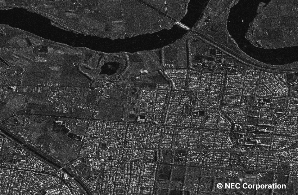
ASNARO-2 X-band SAR images Urban area dataset (STRIPMAP)
- SAR
Synthetic Aperture Radar (SAR) data observed by "ASNARO-2", developed by NEC, partly funded by the Ministry of Economy, Trade and Industry.
Since SAR does not depend on light sources such as the sun, observation is possible regardless of day or night.
-
Check the data on browser
Need to login -
Operate via API
| Satellite | ASNARO-2 |
|---|---|
| Sensor | - |
| Provider | Japan EO Satellite Service |
| Satellite operational period | 2018 ~ |
| Sensor overview *1 | - Resolution: 2 m - Swath: 12 km * For more details, search on Tellus Satellite Data Traveler and see the scene details for each piece of data. |
| Wavelength of sensor *2 | X-Band * For more details, search on Tellus Satellite Data Traveler and see the scene details for each piece of data. |
| Reference | https://jeoss.co.jp/ |
| Public availability status on Tellus (Period) | 2021-2022 |
|---|---|
| Public availability status on Tellus (Region) | Japan |
| Need to purchase | Purchase is required for use |
| Environment in which data can be accessed *3 | This can be used outside the Tellus environment |
| Data formatting | CEOS, GeoTIFF, NITF 2.1 |
| COG data availability | No |
| Notes | Processing level: Level 1.5 / Level 2.1 (orthorectification product; beta version) - Acquisition mode: STRIPMAP - AOI: (1) Images captured every 14 days: Sapporo, Toyama, Nagoya (2) Images of A) and B) captured alternately every 28 days: A) Kumamoto, Kagoshima B) Ube, Nakatsu - Provision method: Every purchaser of L1.5 images will be given the privilege of L2.1 images (beta version) of the same location under the same imaging conditions. |
| Examples/reference | |
| Terms of use | https://www.tellusxdp.com/traveler/dataset/3fcaf1d1-aa54-40d9-a50f-39f4527b1d79/ |
Need to login
View more information
Data set details - Tellus TravelerNotes when using
- - You can use your derivative works generated in Tellus as you need. Refer here for more information.
- - Some data prohibits copying the original data to use outside of Tellus including just a part of, or formatted data that can be restored back to the original.
- - When using data in your own environment outside of Tellus, please notice that some of the data prohibit the usage or downloading. Please make sure to read the data details page.
- - You need an agreement in advance for commercial use. Please inquire Tellus office.
Reference for terms
- *1 Sensor overview
- The basics of satellite data — What it tells us, types, observation interval, resolution and use cases
- *2 Wavelength of sensor
- Basics of Synthetic Aperture Radar (SAR) - You can learn use cases, observation target, sensors, satellite, and wavelength - Sorabatake
- *3 Environment in which data can be accessed
- Available only in Tellus: You can use data only in Tellus for either development or analysis environment.
Available from outside Tellus: You can use data in your own environment through downloading and/or API.