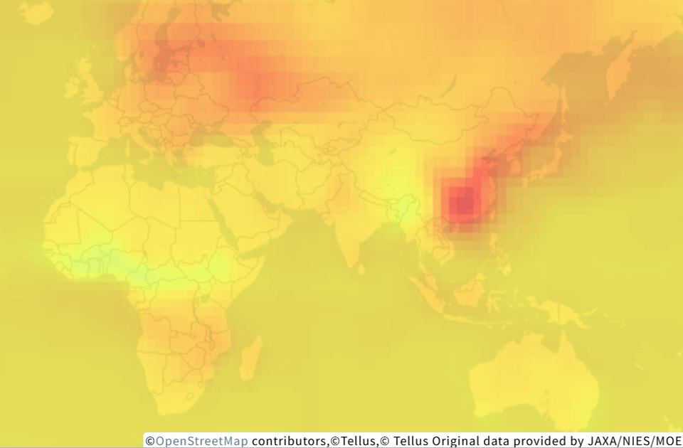
GOSAT/L4B/global CO2 distribution(G1-10)
- Environmental
L4B global three-dimensional distribution data of CO2 concentration, estimated from L4A CO2 flux data estimated from the information observed by TANSO-FTS onboard GOSAT, which was developed as a joint project by the Ministry of the Environment (MOE), the National Institute for Environmental Studies (NIES), and the Japan Aerospace Exploration Agency (JAXA).
-
Check the data on browser
Need to login -
Operate via API
| Satellite | GOSAT |
|---|---|
| Sensor | TANSO-FTS |
| Provider | JAXA/NIES/MOE |
| Satellite operational period | 2009- |
| Sensor overview *1 | - |
| Wavelength of sensor *2 | - |
| Reference | https://data2.gosat.nies.go.jp/ https://www.gosat.nies.go.jp/en/ |
| Public availability status on Tellus (Period) | June 2009 - Update in progress *Expected to be updated once a year. |
|---|---|
| Public availability status on Tellus (Region) | Japan Asia excluding Japan Oceania Europe North America South America Africa |
| Need to purchase | Can be used without purchase |
| Environment in which data can be accessed *3 | This can be used outside the Tellus environment |
| Data formatting | NetCDF COG |
| COG data availability | Yes |
| Notes | The L4B global CO2 distribution is a product that stores global three-dimensional distributions of CO2 concentration (6-hourly, 2.5-degree mesh, 17 vertical levels and column average) estimated from the L4A global CO2 flux using an atmospheric transport model. The original data consists of 17 vertical levels. On Tellus, data in 'NetCDF' format, which is published by the GOSAT Data Archive Service, is converted into 'Cloud Optimized GeoTIFF' format. The original data is structured to contain one month's worth of values per file, but here it is divided into one file per day. Additionally, the original data's 17 vertical layer values are structured as bands in the GeoTIFF. Furthermore, the column-averaged concentration, which was calculated separately, is added to the first band and set as the initial display. Additionally, the original data is included in the scene corresponding to the first day of the month. |
| Examples/reference | |
| Terms of use | https://www.tellusxdp.com/traveler/dataset/05e4898e-9b14-45d7-823c-0e25adfe5862/ |
Need to login
View more information
Data set details - Tellus TravelerNotes when using
- - You can use your derivative works generated in Tellus as you need. Refer here for more information.
- - Some data prohibits copying the original data to use outside of Tellus including just a part of, or formatted data that can be restored back to the original.
- - When using data in your own environment outside of Tellus, please notice that some of the data prohibit the usage or downloading. Please make sure to read the data details page.
- - You need an agreement in advance for commercial use. Please inquire Tellus office.
Reference for terms
- *1 Sensor overview
- The basics of satellite data — What it tells us, types, observation interval, resolution and use cases
- *2 Wavelength of sensor
- What is wavelength? Why satellites have capabilities to detect objects invisible to the human eye - Sorabatake
- *3 Environment in which data can be accessed
- Available only in Tellus: You can use data only in Tellus for either development or analysis environment.
Available from outside Tellus: You can use data in your own environment through downloading and/or API.