Converted National Land Register Data
- API
Features
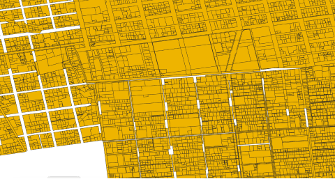
The map data of the registry office in Shapefile and GeoJSON formats
This data is converted to shapefile and geojson by the Council for the Promotion of Information Sharing on Social Infrastructure from the map data of the registry office published by the Ministry of Justice. The following tools are used for conversion.
[Conversion to shapefile]: Free software "SIMA, Cadastral Format 2000, Ministry of Justice Map XML ⇒ GIS"
[Conversion to geojoson]: GDAL 3.0.4, ogr2ogr.
Only data with public coordinates are converted. See https://www.geospatial.jp/ckan/organization/moj-mapdata for terms of use and specifications of the XML data to be converted.

Getting started
By starting to use the tool, you are considered to have agreed to the terms of use.
Step 1: Issue an API token
Create the authentication token required to execute the API. When executing the API, use it as {"Authorization": "Bearer {{issued API token}}"}.
API TokenStep 2: Execute by referring to the API reference
For specific endpoints by function, please refer to the API reference.
API Reference| Provider | Association for Promotion of infranstructure Geospatial Information Distribution |
|---|---|
| Terms of use | 登記所備付地図データ利用規約(PDF) |
| Notes | - CC BY - If you use the map data provided by the registry office, please clearly indicate the source of the data. Example: Data is created by the G-Spatial Information Center by converting the data based on the "Data of XX City kept at the registry office" (Ministry of Justice) (URL of the page in question). - See https://www.geospatial.jp/ckan/organization/moj-mapdata for terms of use and specifications of the XML data to be converted. |
| Environment in which tool can be used | Available outside of Tellus |
| User manual, API reference | - API reference |
| Changelog |