Satellite Data Features
What you can do with satellite data

Monitoring land fertility, crude oil, nightlight by satellites enables us to estimate crop yields, oil stockpiling and GDP rate.
Satellite data business
In some cases, counting cars in a parking lot by satellites enables us to predict the company’s performance and stock price.
Satellite data business
Monitoring wide forests by satellites enables us to generate vegetation mapping or pest-infested damages to manage.
Satellite data business
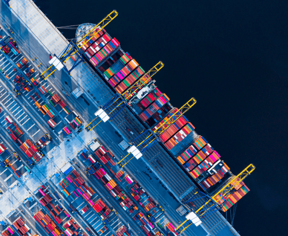
Observing the ocean where 90% of the world’s transport depends enables us to track shipping routes and detect illegal fishing vessel locations for maritime insurance and rescue operations.
Satellite data business
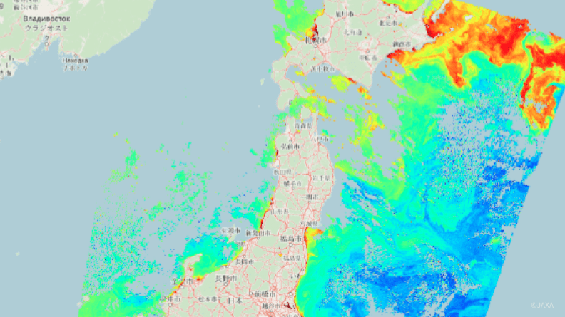
Monitoring sea surface temperature, phytoplankton and sea levels enables us to map fish under the water. These data also enable fish farming risk analysis.
Satellite data business
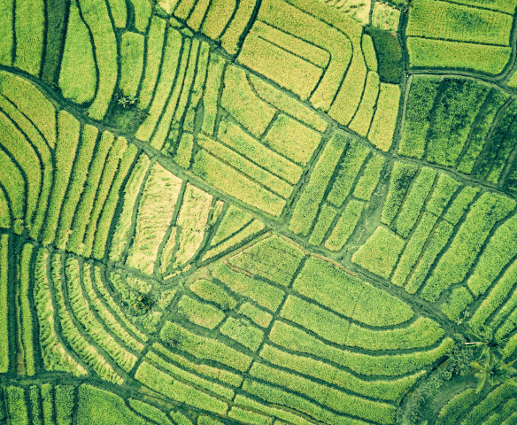
Monitoring agricultural lands enables us to predict crop yields, stages of growth and ripening and harvest timing. This greatly helps farmers raise productivity and profit.
Satellite data business- Fixed asset survey
- Stock price prediction
- Forest monitoring/management
- Transport and infrastructure
- Fisheries and farming monitoring
- Crop growth prediction
The world anyone can use satellite data anywhere and anytime
Product Features
Tellus services
- Satellite data
-
Japanese and other countries’ public/commercial satellite
data is dealt in Tellus
Satellite data list
- Terrestrial data
-
Using satellite data together expands use methods.
Terrestrial data list
- Provides the tool APIs
-
Available for data preprocessing and analysis.
Tool list
- Search satellite data
-
Find data in Tellus Traveler
- Development/analysis environment
-
View details
For Your Business
Start your business with Tellus
Tellus always seek partners to create a business together. Sketch new use ways of satellite data with us.
Utilize Data
- Develop service and tool
- You can develop services or applications using satellite data on Tellus with a wide range of data and development settings and environment.
- Publish your developed tools
- You can release the APIs you have developed, such as tools for data analysis, to Tellus users.
Sell your data
- Disseminate/sell your data
- You can disseminate your data to Tellus users with various settings on user restrictions, price and more.
- 08/19/2025 News Tellus、衛星データAIモデルの開発・検証環境サービス 「Tellus AI Playground」提供開始
- 07/30/2025 Maintenance GOSAT L4B Data Version Update (Completed)
- 07/11/2025 Maintenance System Maintenance
- 05/20/2025 News 衛星データ×気象データで切り開く新時代の防災とは。スペースシフト、ハレックス、Tellusが共同でセミナーを開催
- 05/20/2025 Maintenance Notice of Problems with the Service(Resolved)


